
Industrial tasks have also evolved with UAV technology. Construction teams, for example, use drones to perform initial site surveys before setting up heavy equipment. The live aerial footage helps identify potential hazards or uneven terrain that could affect machinery placement. This preparation ensures resources like labor and materials are allocated appropriately, cutting down on wasted time. It’s standard practice to review drone-captured maps alongside traditional blueprints to catch discrepancies early.
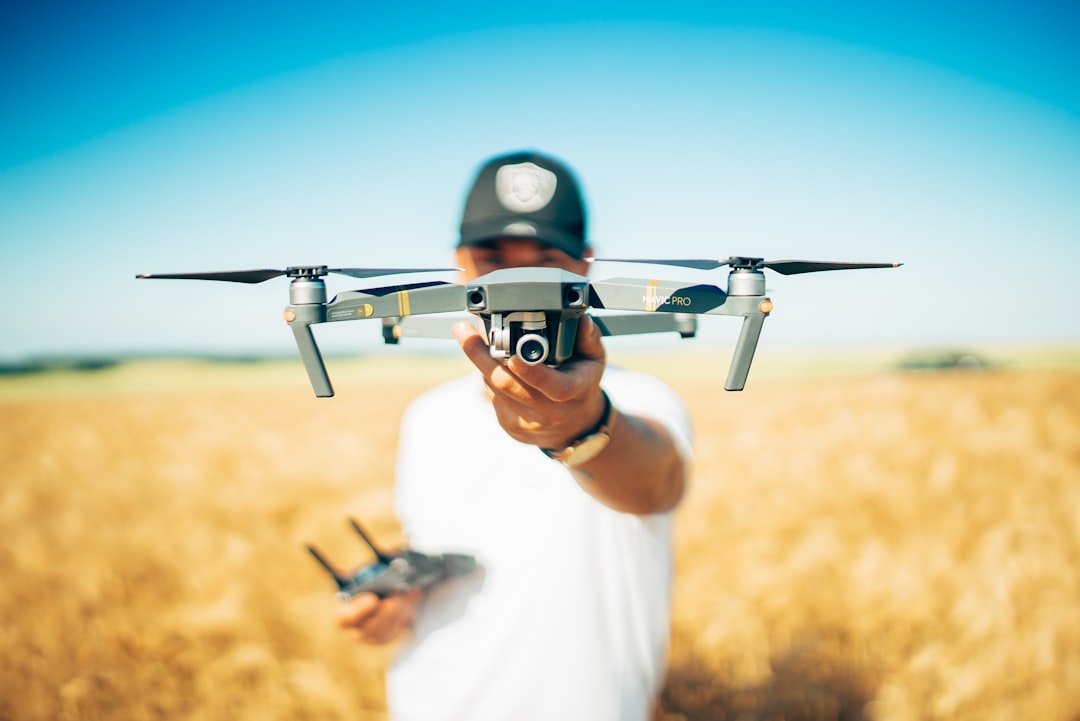
Filmmakers find drones indispensable for capturing dramatic desert shots. Getting these angles used to require cranes or helicopters, adding cost and complexity. Drones offer greater flexibility and can hover or maneuver through tight spaces to frame dynamic scenes. They allow directors to experiment with perspectives without halting production schedules. Since drones can be programmed for repeatable flight paths, crews often use them to shoot multiple takes with consistent framing.
Surveying benefits significantly from drone-mounted LiDAR systems, which generate precise topographical maps. These maps reveal subtle land features that might be missed by eye or less sensitive tools. Environmental assessments rely on this data to evaluate erosion risks or vegetation health. Covering vast desert tracts quickly means surveys don’t drag on for weeks, helping planners meet tight deadlines. Teams typically overlay LiDAR data with satellite imagery for a fuller picture before drafting reports.
Inspection work has improved safety and efficiency thanks to drones. Energy companies send UAVs to check power lines or solar panels in remote desert locations where ground access is risky or slow. The drones’ high-res cameras detect cracks, corrosion, or shading issues early, which helps schedule maintenance before major failures occur. Field engineers often carry printed drone images during site visits to confirm findings and plan repairs on the spot.
Drones also offer tailored services based on industry needs. For instance, agricultural operators might deploy drones with multispectral sensors to monitor crop health and soil moisture across arid fields. Custom flight routines can be designed to focus on problem areas identified in previous surveys. This targeted approach reduces resource use and increases yield predictability. Many operators keep detailed flight logs and sensor calibrations handy for auditing and improving data quality.
To keep up with drone advancements and their impact across industries, following specialized online platforms is helpful. They provide updates on new sensor tech, regulatory changes, and case studies from different sectors. Checking these sites regularly can prevent costly mistakes caused by outdated procedures or overlooked regulations. Visit desert aerial data insights for ongoing information and news about drone services.